
Trace an Ewing Township Street Directory
A street-by-street search in Ewing starts with the physical property, then moves through the record systems that use different keys. The assessor and public map help identify the situs parcel. Mercer’s Clerk index connects an Ewing town, block, and lot to recorded deeds and maps. Historic directories and phonebooks provide an earlier household layer. The sequence matters because no single source supplies a complete, current street roster.
Keep one record sheet for each address. Include the street address as searched, Ewing Township and Mercer County context, the parcel or key-map reference, block and lot, source date, and any instrument number. A nearby parcel should remain a separate row. It may share a boundary, driveway, or map edge without showing the same household or any personal relationship.
- Search the full address in the Ewing assessor route or New Jersey Property Explorer and record the situs parcel, municipal context, and block and lot where available.
- Zoom to the street in the parcel viewer, use identify controls, and mark the target parcel separately from adjacent geometry.
- Search Mercer County Official Records with Town set to Ewing and the known lot and block, legal description, or party name.
- Read the deed result for the recording date, grantor, grantee, book and page, consideration, and linked documents.
- For earlier occupants, request the appropriate regional directory or telephone-book year through Trentoniana rather than assuming a modern owner was the historical household.
Ewing Township Street Directory by Situs
The first address in an Ewing Township street directory workflow is the situs address, meaning the physical location of the parcel. It is the address used by assessor, map, permit, inspection, and citation processes. A tax or owner mailing address can point somewhere else and does not establish that the owner lives at the property. A legal description can also omit the modern street number, particularly in older instruments.
The Ewing assessor page presents a Lookup Property Assessments link, but the public crawl did not expose its live search fields or result columns. That is a material limit. The page is still the municipal route for property questions, and its tax-map guidance can resolve an unfamiliar map reference. If the portal stops at a link or does not show a needed field, contact the assessor rather than filling the gap with an unsupported conclusion.
Note: Label a mailing address and a situs address separately whenever both appear in a parcel or deed record.
Ewing Township Street Directory Map Fields
Ewing uses four tax-map key-map quadrants with numbered sections. The assessor’s examples, 1102 019 and 1102 019 01, refer to map sections 19 and 19-01. That local notation can be a useful bridge when a street query does not immediately yield block and lot. The New Jersey Property Explorer provides the public map fallback and searches statewide parcels by address, county, municipality, block, and lot.
Use map tools for the geographic layer only. NJGIN supports pan, zoom, identify, query, find, and export controls through its cadastral services. Hosted owner names are redacted, and the displayed parcel polygons are not legal boundaries, surveys, or tax maps. A street directory reader should retain the geometry and identifiers, then use an authorized assessor or Clerk route for the recorded-person connection.
| Field or control | Confirmed Ewing use | Street-directory value |
|---|---|---|
| Street or address | Public parcel-search route | Finds the situs parcel |
| County | NJGIN search filter | Restricts the map to Mercer County |
| Municipality | NJGIN search filter | Restricts the map to Ewing Township |
| Block and lot | NJGIN parcel-search fields | Connects map geography to the Clerk index |
| Key map or section | Ewing assessor map navigation | Preserves a local reference when an address is unclear |
| Identify and query | NJGIN map-service controls | Shows public parcel and tax-block context |
Ewing Township Streets by Block and Lot
Block and lot are the bridge from an Ewing street address to a recorded land search. Once the parcel is identified, enter Town as Ewing and use lot and block in Mercer’s Official Records Search. If an authorized assessor result supplies an owner, that person can be searched as a grantee. Otherwise, a legal description, subdivision, instrument number, or previous known party can narrow the candidates.
A plat is a recorded map that lays out lots, subdivisions, or streets. A parcel is the land unit shown for assessment and map purposes. A legal description is the block, lot, subdivision, map, metes-and-bounds, or deed language used in official land records. These terms make it possible to follow a street record even when a deed lacks a current street line.
- Criss-cross directory
- A reverse directory arranged by address or street, useful for historical occupant and subscriber leads.
- Grantor
- The party transferring an interest in a recorded deed.
- Grantee
- The party receiving that recorded interest.
- Consideration
- The amount or stated value recorded for an instrument when shown.
Ewing Township Street Directory Record Sources
Address-keyed sources answer different parts of a street question. The municipal assessment route and NJGIN establish parcel context. The Clerk indexes the recorded ownership and document trail. SDL may connect an address with municipal permit, complaint, violation, license, or certificate categories behind its account system. Directories, telephone books, census resources, and historical maps add dated household or building context. Combining sources is more dependable than turning any one of them into a universal street directory.
| Address-keyed source | What it can show | Access boundary |
|---|---|---|
| Ewing assessment route | Parcel, assessment, map-section, owner, mailing, or situs concepts if then displayed | Public link and office route; live fields were not exposed |
| NJGIN parcel map | Parcel shape, tax-block context, address, county, municipality, block, and lot | Public geometry; owner names redacted and map is not a survey |
| Mercer deed index | Grantor, grantee, recording, legal description, consideration, and linked documents | Online material approximately from 1997; earlier detail in Records Room and deed books |
| SDL municipal portal | Address-linked permits, complaints, violations, licenses, and certificates | Account required; authenticated fields and limits vary |
| Regional directories and phonebooks | Historical occupant, subscriber, business, or street leads | Trentoniana and Historical Society collections, with year gaps and access limits |
| Sanborn, atlas, and plat records | Building, number, street, block, and parcel context | Historical map evidence, not current household proof |
The public address chain becomes especially important when results conflict. A deed may establish ownership at a recording date, while a directory identifies a household in an earlier year. The mismatch is information to resolve, not a reason to collapse the records into one claim.
Ewing Township Street Deed Trails
Mercer County Official Records Search supports Party Name, Document Type, Property Type or search mode, Instrument Number, Book and Page, Town, Lot and Block, Legal Description Line 1, consideration, and date-range fields. Party names use last name first name without commas. The index includes deed, mortgage, discharge, lien, lis pendens, map, road, tax-sale, UCC, and related Clerk codes. Select only the document type that answers the address question.
For a deed chain, find the current recorded grantee, then read the instrument and identify the grantor or seller. Search the prior party as a grantee and repeat, recording the date, instrument number, legal description, and confidence for each transaction. The public McPress interval is approximately 1997 forward. If the trail crosses that boundary, use the Records Room and deed books. Clerk staff can assist with the computer index, but they do not conduct the title search.
Open the Mercer County Official Records Search for the town, block-lot, party, and legal-description filters.
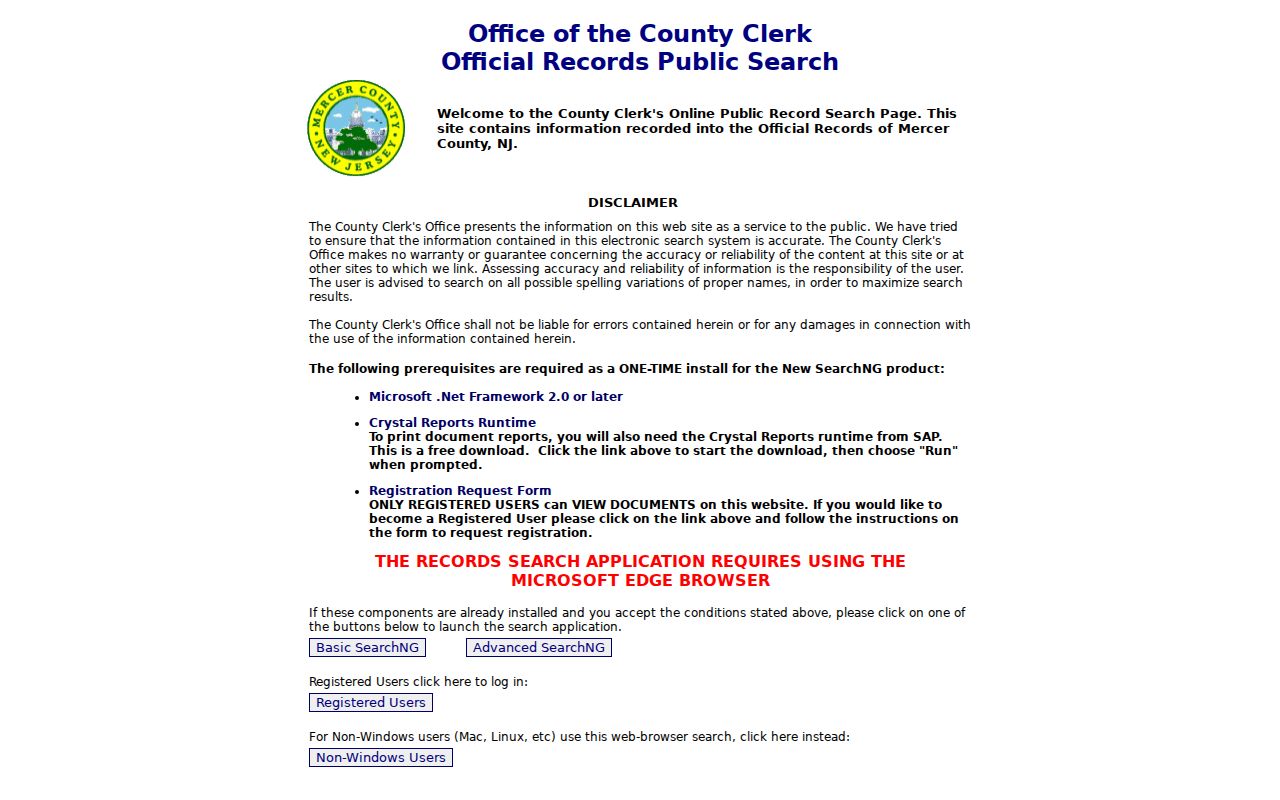
The Clerk search layout supports a document-specific street trail when the parcel identifiers are known.
Ewing Township Street Records in SDL
Ewing’s SDL instructions describe a 24-hour account portal for full or partial property address, full or partial owner name, and block-lot searching. Published categories include basic tax-lot and owner information, current permits, complaints, violations, licenses, certificates, OPRA requests, GIS maps, and pet-license requests. The system may help build an address chronology when a permit or certificate is relevant to a particular property.
Do not treat the portal as a street roster. Some advanced features require account and phone verification, and the research did not expose authenticated result columns, available permit-type choices, or download behavior. For a record that is not publicly shown, the municipal office or request process is the fallback. A named applicant, contractor, complainant, or license transaction is tied to that record category and needs independent confirmation before any personal conclusion.
Ewing Township Street Voter Limits
New Jersey’s Voter Search checks an individual registration status. It is not an open by-street roster. Official guidance says exact county spelling matters, and a submitted search can confirm status information as the current tool displays it. A failed result means the submitted criteria did not find a match; it does not settle a person’s address or registration status beyond that search.
New Jersey voter statutes distinguish controlled registration data from the public-list rules. Signatures, Social Security numbers, driver or non-driver ID numbers, and protected addresses are excluded. N.J.S.A. 19:31-18.1 allows specified list access subject to its rules, but it does not authorize publishing a bulk Ewing street directory. Use the voter tool for its individual purpose and ask Mercer election officials about current procedures for any lawful list question.
Note: Voter status can support a careful record comparison, but it should not be used to infer every person connected to an address.
Ewing Township Street Postal Labels
Postal geography is another reason to keep an Ewing street search precise. The township is served by ZIP codes 08560, 08618, 08628, and 08638, all shared with nearby postal areas. The welcome material notes that 08628 can use Ewing, West Trenton, or Trenton labels. A street’s ZIP line may therefore differ from its legal municipality. Use Ewing Township and Mercer County when working in the assessor, map, and Clerk systems.
USPS verifies delivery information from a complete street address, city, and state. NJGIN instead uses address, county, municipality, block, and lot; the Clerk relies on town, lot and block, party, book and page, or legal description. No ZIP-wide public resident or permit result mode was confirmed for the Ewing assessor, SDL, NJGIN, or Clerk interfaces. A correct ZIP helps mail validation, but it does not replace an address record.
Historic Ewing Township Street Evidence
For a past street address, regional directory titles are important. Trentoniana holds Trenton, suburban Trenton, and Mercer County directory runs, telephone books, directory and newspaper microfilm, maps, and census resources. The 1966 Polk Trenton Suburban directory explicitly includes Ewingville, West Trenton, and parts of Ewing. A search that ignores those regional names can miss a historical street entry.
Maps help when the number or building shape changed. The 1927 Library of Congress Sanborn volume includes part of Ewing and can show building footprint, materials, street and sidewalk detail, property use, and current or previous numbers. Pair it with the 1935 Mercer property atlas and 1936 Trenton-Princeton platbook. These sources explain address context; they do not establish a current person at the address. The historical directory shelf is covered in greater depth in the Ewing Township city directory resource.
Ewing Township Street Map Boundaries
Public NJGIN cadastral layers are valuable because they show parcel and tax-block geometry, identify and query controls, and a street-scale map context even when person fields are unavailable. The state’s hosted parcel data redact owner names under Daniel’s Law protections. Mercer’s former Property Information Portal is also closed to anonymous and registered public access. The official alternatives are NJGIN for public geometry and the Clerk for recorded land metadata.
A map should be date-stamped. NJGIN announced statewide parcel-data updates in 2026, including Mercer, and county or municipal stewards can change geometry or attributes. The practical street directory method is to retain the visible data date, map identifier, and source, then compare the corresponding Clerk record. Never describe a polygon as a survey, a legal boundary, or a named household.
Use the NJGIN Cadastral MapServer for the public parcel and tax-block layer.
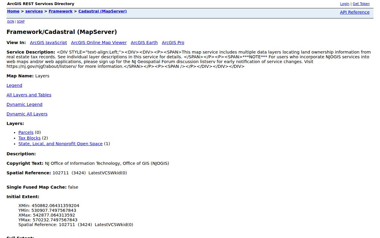
The cadastral view is the public geometry stage of a street search, before an authorized record connects it to a recorded party.
Ewing Township Street Directory Limits
An address record can show a parcel, a transaction party, a historical directory listing, or a municipal record category. It cannot reliably identify everyone who is presently at that address. Owner and occupant are different concepts. NJGIN may stop at redacted geometry, a deed may predate a move, and a directory may identify a former household. A public source that does not show a person is not proof that the person has no Ewing connection.
New Jersey’s Address Confidentiality Program and Daniel’s Law place real limits on address disclosure. OPRA is subject to exemptions and does not override court restrictions, protected-address rules, or record-specific procedures. When a record is redacted or unavailable, preserve the custodian response and use the documented office, court, archive, or library channel rather than seeking an unofficial substitute.